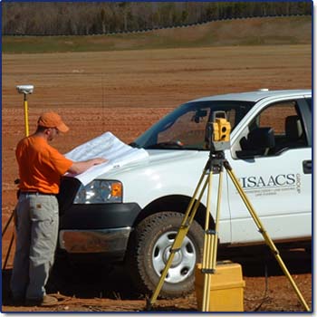
Accurate surveying and mapping are essential for a cost-effective and successful project and the survey department at The Isaacs Group has been a leader in providing state of the art surveying techniques to contractors, property owners, builders and land developers.
Our highly experienced and expertly trained survey teams use GPS, Robotic and Conventional surveying technology to perform any type of land surveying project, from contractor support GPS Machine Control Information Management to construction layout of site and building improvements to ALTA Boundary/Topographic Surveys to Subdivision Record Mapping, route surveying and much more..
Our surveying professional staff has grown significantly over the years as a result of our exceptional client service and project responsiveness, as well as our high standard of technical precision in the performance of our work.

accuracy & service.

